|
|
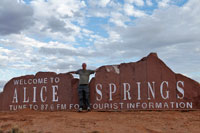
Arrival at Alice Springs |
|
|
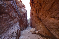
Standley Chasm formed by countless flooding episodes eating away at the rock to form a narrow channel |
|
|
The beginning of the famous Tanami Road that passes through the Tanami Desert to the Western Australian border and beyond |
|
|
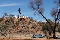
The unusual figurehead at Aileron, township on the road between Alice Springs and Tennant Creek |
|
|
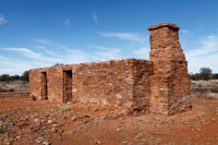
The ruins of the Glen Maggie Homestead built in 1914 for a cattle and sheep station, but fell into disuse in the 1930's. |
|
|
A rocky bluff near Barrow Creek |
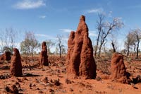 |
Some of the abundant termite mounds off the Stuart Highway |
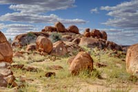 |
The Devil's Marbles - lumps of granite weathered into roughly spherical shapes |
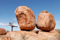 |
A fine balancing act at The Devil's Marbles. Here's another one. |
 |
An unusual combination of business models found in Tennant Creek |
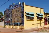 |
A building decorated with colourful indigenous artwork on the main street in Tennant Creek |
|
|
A magnificent sunset over Tennant Creek |
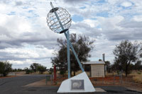 |
The monument signifying the Tropic of Capricorn (23.44°S) which lies between Alice Springs and Tennant Creek |
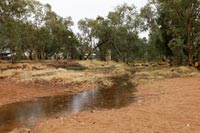 |
The Todd River starts to flow after overnight rain in Alice Springs |
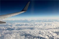 |
Flying home to Melbourne |